
Platforms:
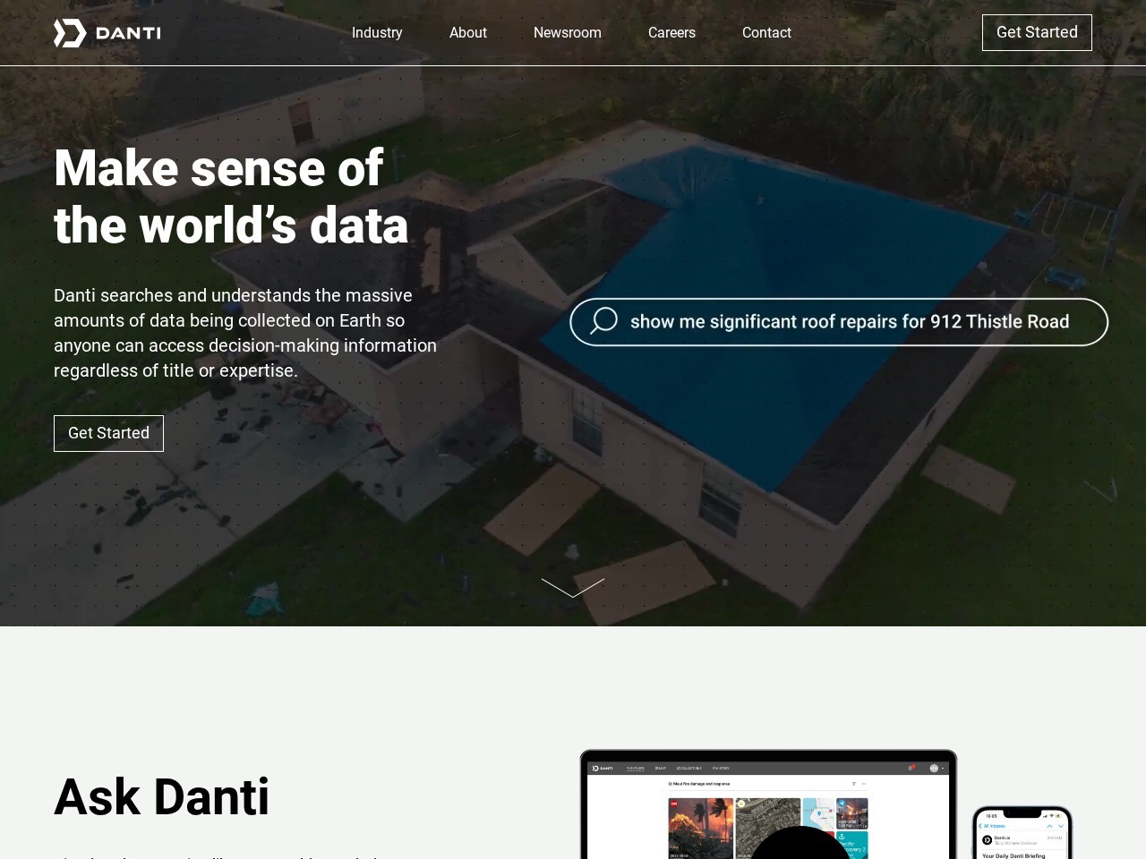
AI natural-language search across geospatial and real-world data sources
Multi-source data fusion (satellite imagery, news, social media, shipping, etc.)
Location-based intelligence with map and spatial analysis tools
Contextual linking of images, reports, and real-time events
Automated analysis workflows for complex questions and scenarios
Real-time monitoring and alerting for specific locations or events
Secure deployment options for enterprise and government systems

Comet is an AI-powered browser assistant that transforms how users interact with websites by combining browsing with intelligent automation.
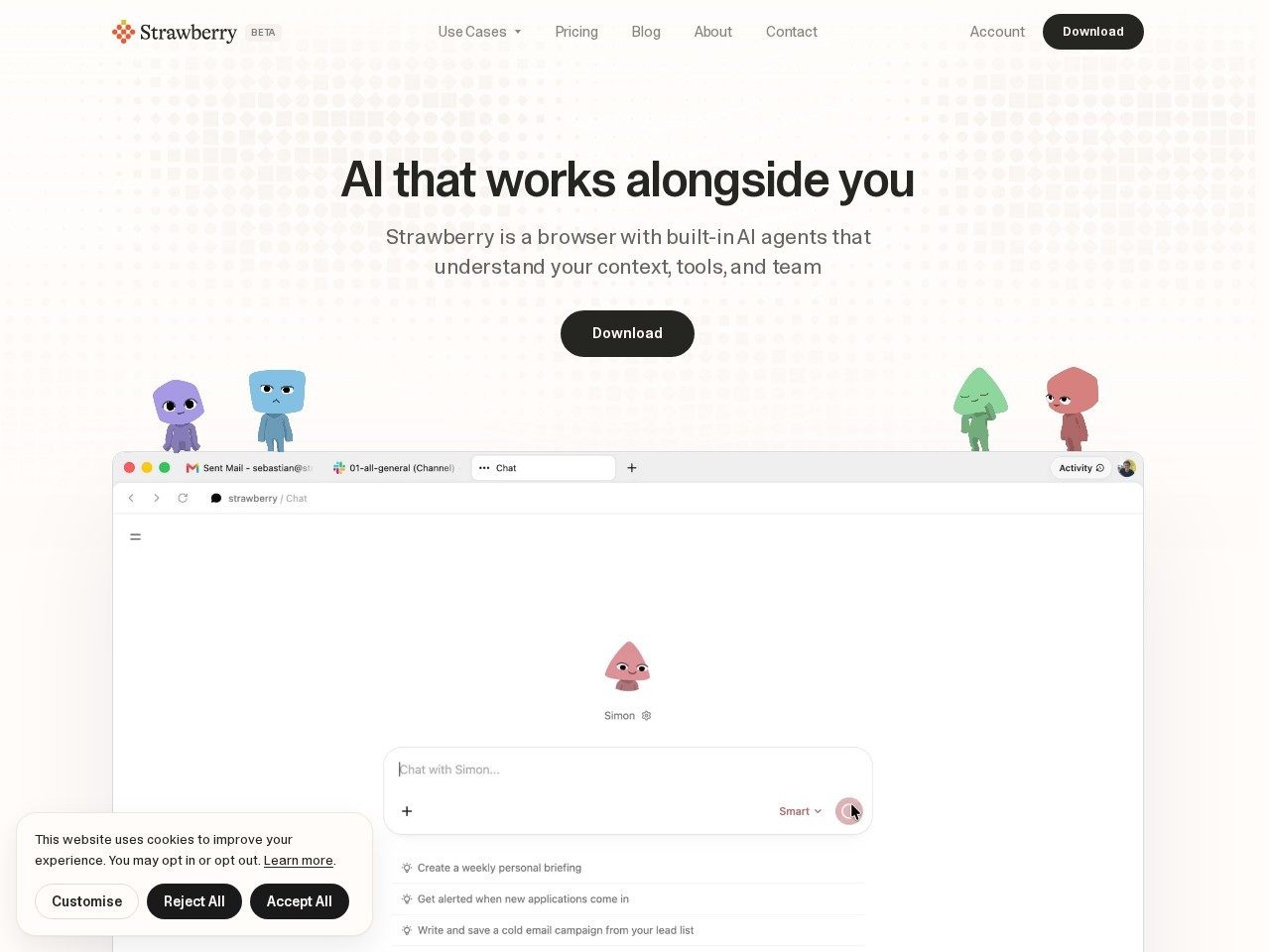
Strawberry is an AI-powered “self-driving browser” designed to automate web-based tasks using intelligent AI agents.
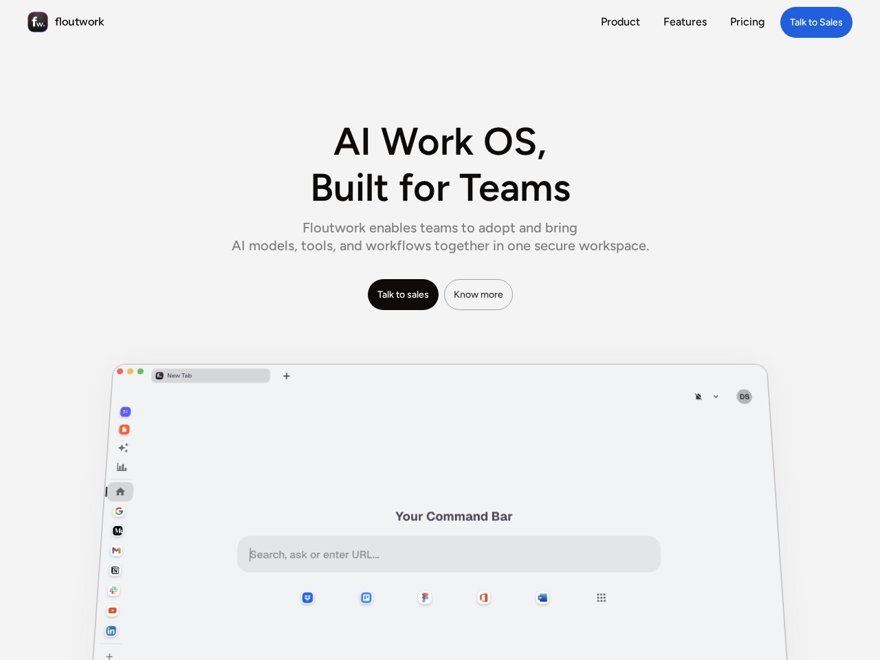
Floutwork is an AI-powered productivity browser designed to turn everyday web browsing into a focused work environment.

Consensus is an AI-powered research search engine that helps users find answers directly from scientific studies and peer-reviewed papers.
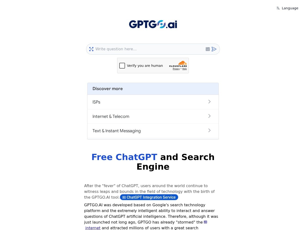
GPTGO is a hybrid AI search tool that combines Google search results with ChatGPT-style responses.
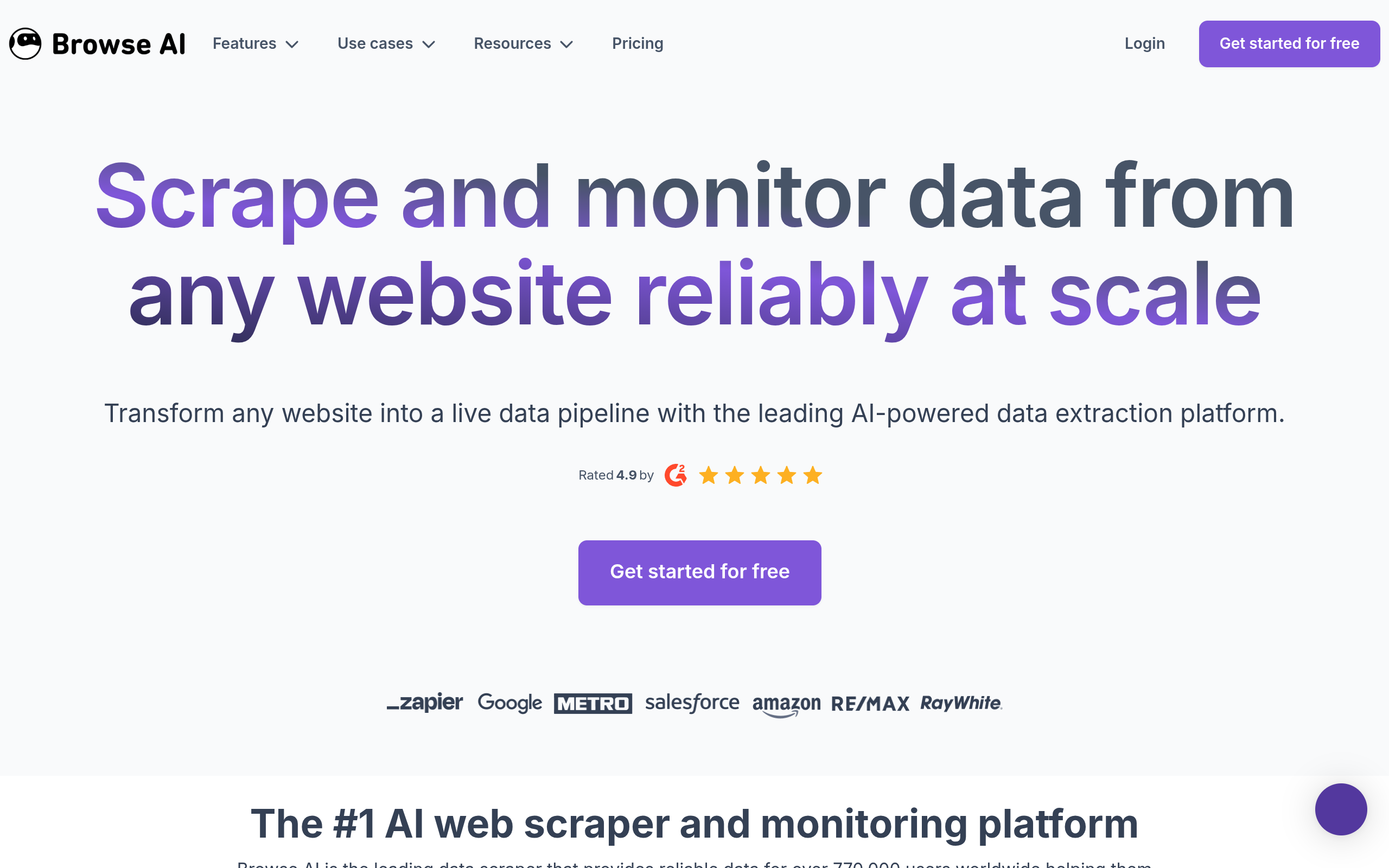
Browse AI is a no-code web data extraction and monitoring platform that lets users collect information from any website without writing code.