

Cyvl AI is an infrastructure intelligence platform that uses AI, LiDAR, and geospatial mapping to help governments and engineering teams analyze roads, sidewalks, and public assets. It builds detailed digital twins of cities to support planning, maintenance, and budgeting decisions. The tool mainly focuses on making large-scale infrastructure management faster, more accurate, and data-driven.
Platforms:
Vehicle-mounted LiDAR and 360° imagery data collection for infrastructure mapping
AI-powered analysis of roads, pavements, signs, trees, and urban assets
Creation of high-precision digital twin models for cities and regions
Automated pavement condition scoring and damage detection
Real-time geospatial analytics for planning and maintenance
Integration with GIS tools like ArcGIS and engineering software
Predictive insights for infrastructure budgeting and lifecycle planning
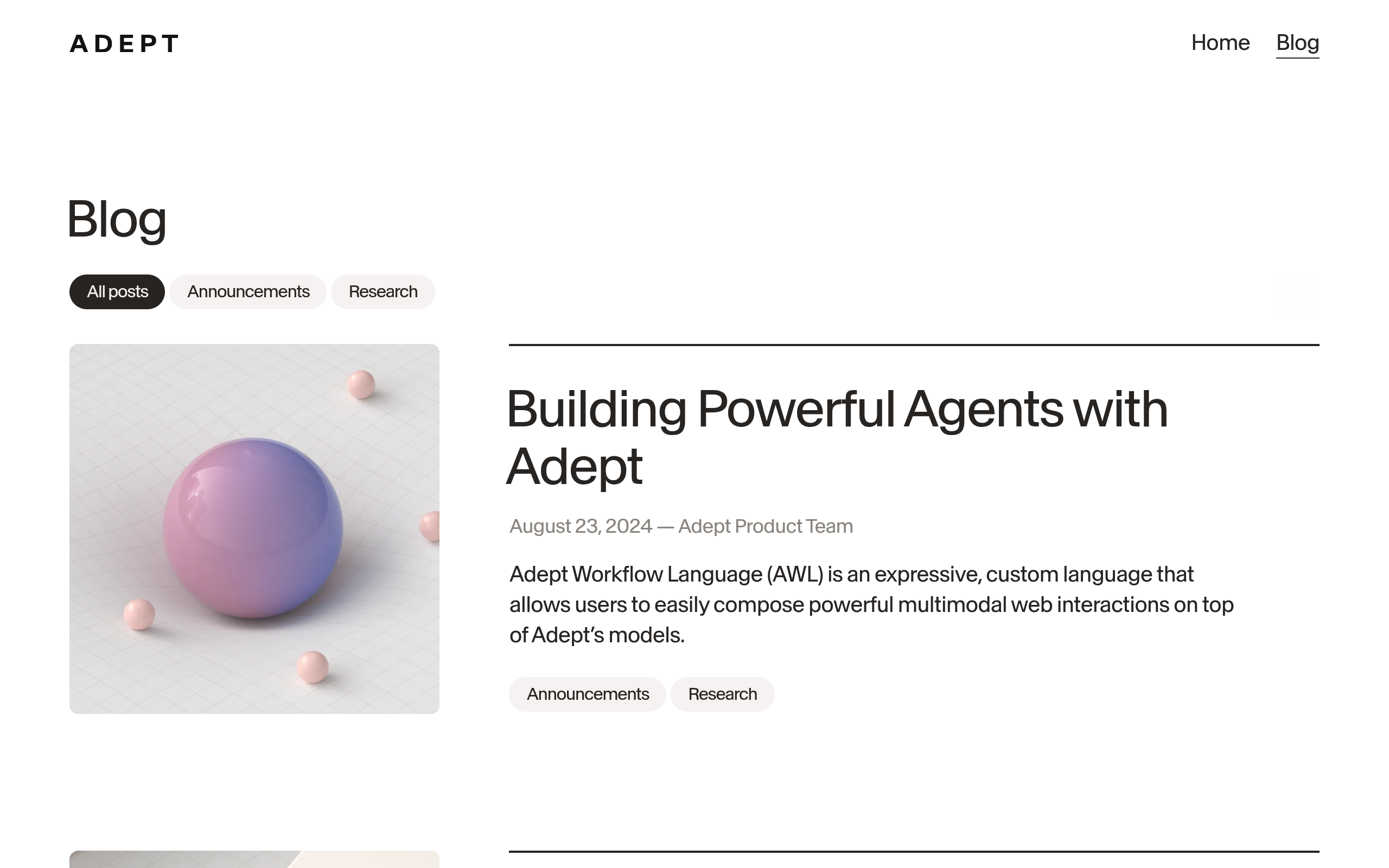
Adept is an advanced AI platform built to automate software actions by understanding user instructions and turning them into real tasks inside digital tools.
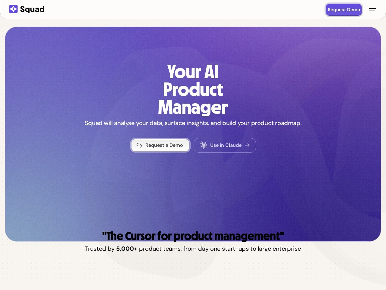
Mypeas AI is an AI-powered workflow and job role optimization platform that helps users and businesses understand how artificial intelligence can improve everyday work tasks.
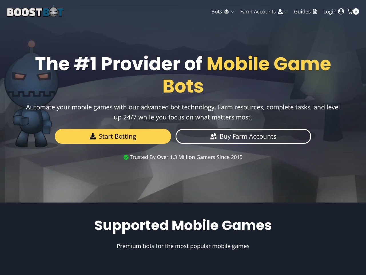
BoostBot is an AI-driven tool designed to help businesses automate customer interactions and improve engagement across digital platforms.

Manus is an advanced AI agent that turns user ideas into completed tasks by combining thinking and execution in one system.
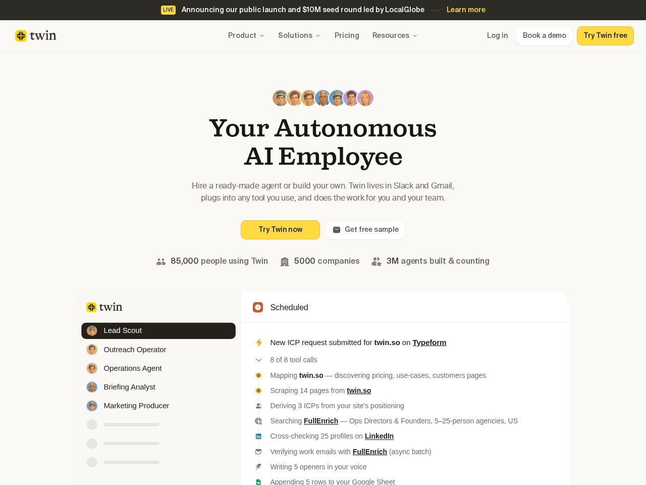
Manus is an advanced autonomous AI agent designed to turn simple instructions into fully completed real-world tasks.
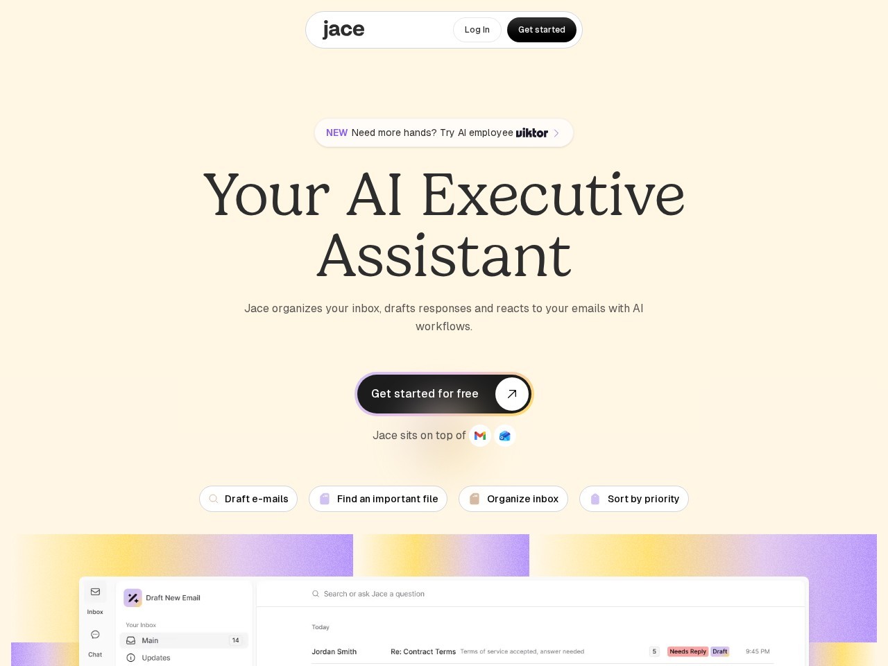
Jace is a cutting-edge AI assistant designed to revolutionize the way businesses and professionals manage their tasks.