
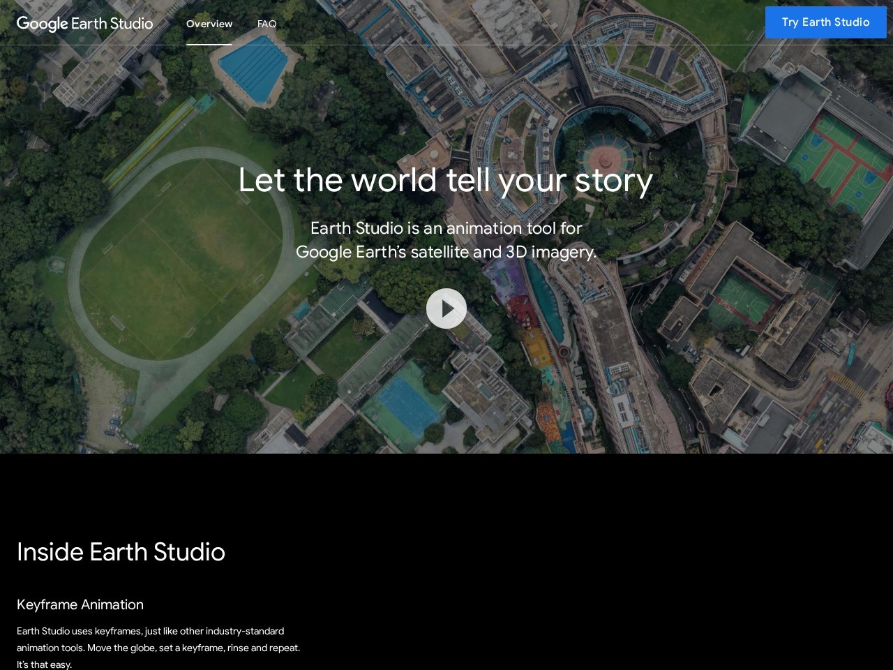
Platforms:
Keyframe animation system for precise camera and scene control
Quick-start templates for creating orbits flyovers and point-to-point animations
Animatable visual effects including lighting perspective and field of view
High-resolution satellite and 3D imagery for realistic visuals
3D camera export compatible with Adobe After Effects for advanced editing
Browser-based workflow with intuitive interface
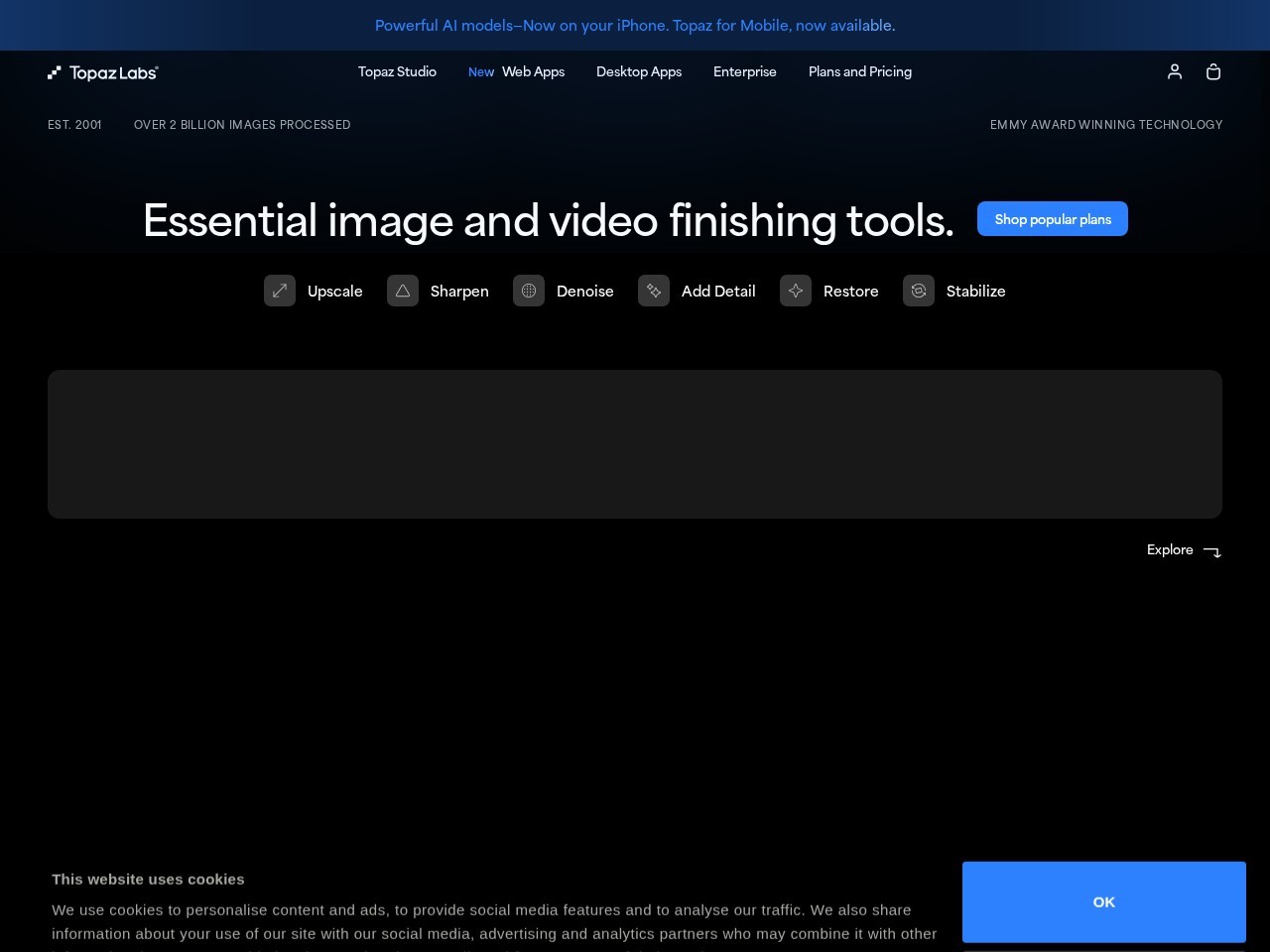
Topaz Labs is an AI-powered platform that specializes in enhancing photos and videos using advanced deep learning technology.

DaVinci Resolve is an AI-powered video editing and post-production software that combines editing, color grading, visual effects, and audio processing in one platform.
2short.ai is an AI-powered video repurposing tool that transforms long-form videos into short, engaging clips for platforms like YouTube Shorts, TikTok, and Instagram Reels.
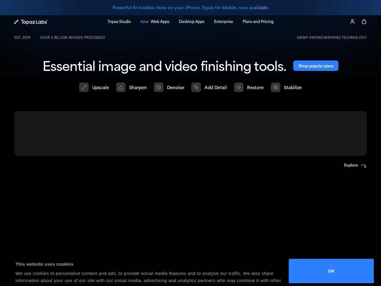
Topaz Video AI is an AI-powered video enhancement software designed to improve the quality of footage using advanced deep learning models.

Immersity AI is an AI-powered platform that transforms 2D images and videos into immersive 3D experiences with realistic depth and motion.
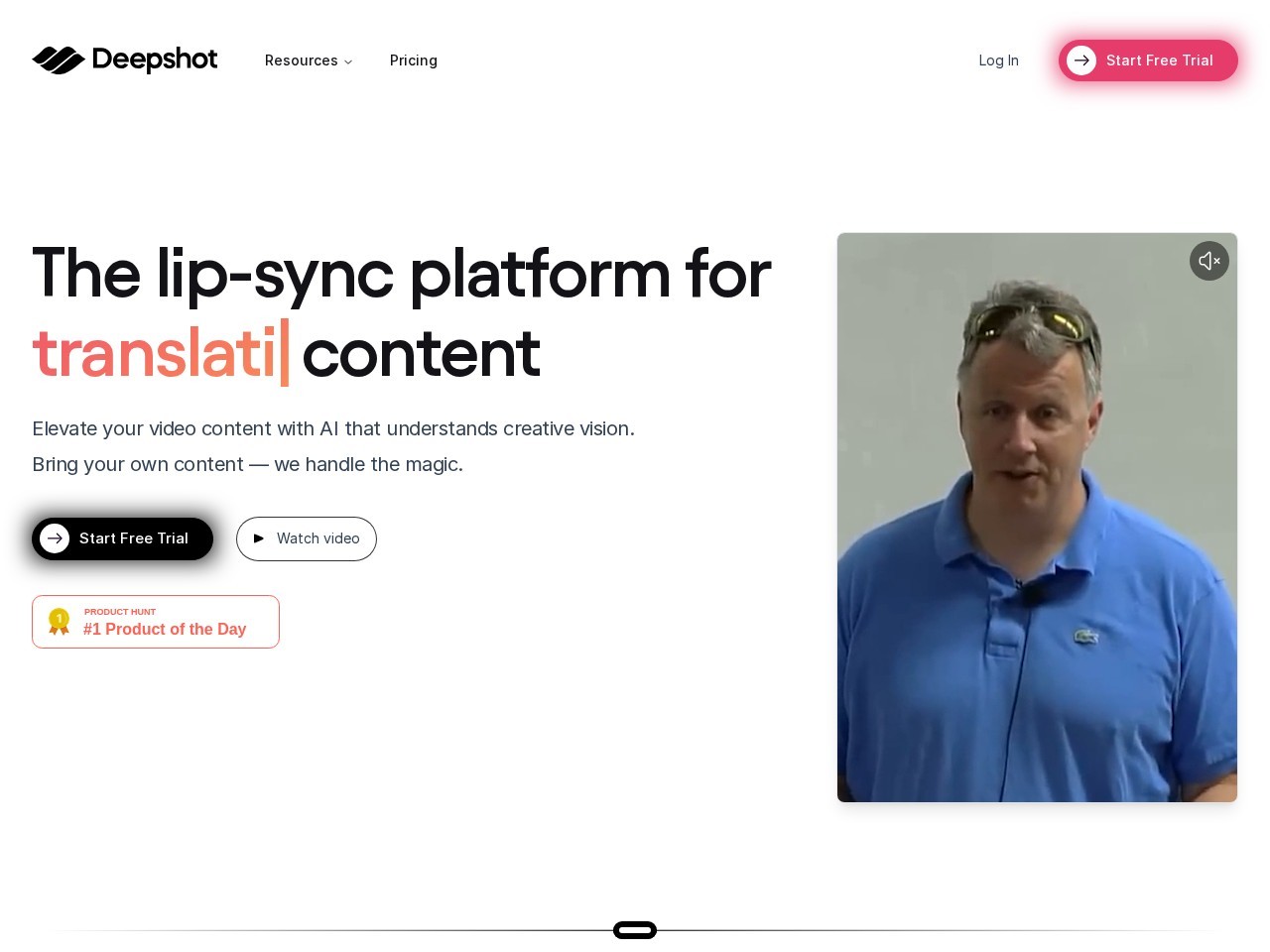
Deepshot AI is an AI-powered video editing tool that focuses on lip-syncing, translation, and content correction to enhance video production.